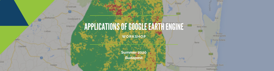
Applications of Google Earth Engine 2020
Venue: Central European University, Budapest, Hungary
Date: postponed to October 2020. please sign for our mailing list to stay updated
-------------------------------------------
This course aims to explain a basic, practical understanding of geospatial techniques and real-world applications using the cloud platform Google Earth Engine (GEE).
GEE is a cloud-based platform provides access to multiple repositories of satellite imagery and geospatial datasets allowing quick and accurate analysis and visualization of large datasets available in the cloud. During the course, students will learn how to search for different spatial data, visualize and interpret the results. At the end of the course, participants will present their own examples of the GEE platform and catalog application.

Topics
- Introduction to Google Earth Engine (GEE);
- Introduction to satellite imagery;
- Data analysis and visualization.
Level: Beginner
Target Group
The workshop is targeted at representatives of regional and country offices of UN agencies, National Focal Points of international conventions, relevant government agencies (e.g. Ministries of Emergency Situations, Environment, Communications), researchers and civil society.
Instructor
Elizaveta’s research interests are focused on remote sensing and GIS technologies application for a wide range of environmental issues such as land cover changes and agricultural monitoring. She has worked at Hexagon Geospatial, a leading global provider of information technologies and she was engaged with different projects related to enterprise GIS platforms development and remote sensing data analysis. She has experience in leading GIS projects in the Ministry of energy, Russian map agency, and the Moscow government.
Her current activity includes teaching a course at Moscow State University on using the Google Earth Engine platform for advanced remote sensing data analysis. She provides workshops and training on open-source software applications for various environmental issues within the Environmental System Laboratory at CEU and the American University of Central Asia. In addition, she participates in different projects related to spatial data analysis including cloud computing and machine learning.
Additional information
The Applications of Google Earth Engine 2020 workshop continue the series of joint UN-CEU training events under the ISEPEI Project “Bridging ICTs and the Environment”. The ISEPEI Project aims to address the gap between geospatial industry and environmental practitioners by providing in-service education and professional training for environmental decision-makers and practitioners, who are in a position to greatly benefit from this data revolution to better shape management strategies and to make more informed, data-driven decisions.

Click here to found out more about the discounts.