Apply now: Summer School 2021: Introduction to Geospatial Technologies for Achieving SDGs – Demographic Considerations
ISEPEI Summer School 2021: 5 July - 9 July, 2021 / ONLINE. Apply now!
Learn from the best, hear the experience of renowned practitioners in a number of fields, expand your horizons, practical skills and understanding of the application of geospatial technologies for achieving the UN Sustainable Development Goals (SDGs).
What will you learn?
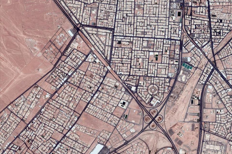
The summer school will particularly focus on the role of satellite-based earth monitoring and remote sensing in achieving the UN Sustainable Development Goals (SDGs) will be discussed, highlighting their potential and limitations. This year’s course is organized in cooperation with United Nations Population Fund (UNFPA), so the primary focus in presentations and case studies will be given to demography, as well as health and poverty issues. A large number of the SDG indicators are linked to population and demographic data, or could be derived from census data.
We will also cover an additional number of technologies including:
- remote sensing;
- geospatial technologies;
- data collection;
- decision-support systems;
The course is open for both non-technical practitioners and academia. Previous knowledge of GIS and remote sensing is not required.
How will you learn?
The course will be entirely online, held on 5-9 July 2021.
It will consist of 2 online components:
- preparatory asynchronous stage (June) with pre-recorded practical sessions to introduce participants with little or no previous experience to the basics of geospatial technologies;
- one-week synchronous stage (July 5-9th, 3 hours daily, 9-12 am CET) with live online presentations by renowned experts and practitioners, accompanied by group discussions and practical exercises on various applications (e.g. satellite imagery analysis, use of mobile technologies, mapping).
To pass the course participants are expected to attend all online sessions and complete a series of individual assignments.
Why choose us?
This course is part of a series of ISEPEI’s “Bridging ICTs and the Environment” workshops that aim to address that gap through providing in-service education and professional training.
The lectures will be delivered by highly experienced practitioners working in diverse fields in variety of international institutions, such as: Anupam Anand (GEF); Alan Belward (JRC); Douglas Cripe (GEO Secretariat); Masahiko Nagai (YUCARS); Ed Parsons (Google); Kanat Sultanaliev (AUCA); Pablo Vega (Tracasa Instrumental).
The course offers an opportunity for non-specialists to get updated on the latest advances in relevant technologies and to learn how these tools can be applied in SDG monitoring. The series have been successfully conducted at CEU since 2014 in cooperation with various UN agencies (UNEP, UNDP, UNOOSA, UNFPA, UNECE, UN FAO, etc.) and global key stakeholders in digital technologies (European Commissions Joint Research Center, Airbus, Esri, Google, MAXAR, etc).
Where to apply?
Deadline extended to 05.04.2021!
You can find all relevant information and application forms here.
Should you have questions or concerns, do not hesitate to contact us at: isepei@ceu.edu
The project is co-funded by the Open Society University Network (OSUN).
In cooperation with the United Nations Population Fund (UNFPA). This course is a part of the “Bridging ICTs and Environment” workshop series run by the ISEPEI project.