GeoHUB's In-Service Training on Geospatial Technologies for 2022 commences!
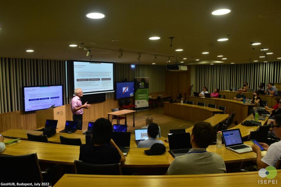
After two years of wait, CEU’s Summer University face-to-face course on "Geospatial Technologies for Achieving Sustainable Development Goals (SDGs) - Food Security" is all set to kick off on July 25th, 2022 in Budapest! This year the course offers a dynamic set of exciting lectures which will wrap up on July 29th.
The grounds of the CEU Budapest Campus once again will bring together a diverse group of participants - students, academia, and young professionals representing an array of backgrounds and regions in the world. Priority has been given to the participants from the GeoHUB partner institutions, which are CEU, American University of Central Asia (AUCA), and Bard College. There are also many participants from other organizations such as IMMAP, UN World Food Programme (WFP), UN Office for Disaster Risk Reduction (UNDRR), various national governmental agencies, and so on.
The workshop faculty includes renowned experts from leading information, communication and technology forums such as the United Nations Development Program (UNDP), United Nations Food and Agricultural Organization (FAO), United Nations Office for Outer Space Affairs (UNOOSA), Global Environment Facility (GEF), Group on Earth Observations (GEO), ESRI, Google, Center for Research and Application of Satellite Remote Sensing (YUCARS) at Yamaguchi University, AUCA, CEU, World Bank, Planet and Babes-Bolyai University.
The workshop’s focus this year is on the geospatial technologies in agriculture and digital transformation of rural areas, which includes precision agriculture, mobile apps, GPS, drone use, and more.
This Summer University course is run annually as a part of the "Bridging ICTs and the Environment" workshop series of the ISEPEI project. This training contributes to bridging the gap between the developers and practitioners as the in-service training allows the participants to hone their skills in such tools as Satellite imagery, Geographic Information Systems (GIS), mobile applications, and other technologies that can be applied for data-driven decision-making and achieving and monitoring the various SDGs targets and indicators. Every year since 2014, the workshop has been conducted in partnership and cooperation with various UN agencies (UNEP, UNDP, UNOOSA, UNFPA, UNECE, FAO) and global key stakeholders in digital technologies (JRC, Airbus, ESRI, Google, MAXAR).
The workshop will be an exceptional opportunity for the participants, instructors, and organizers to network, as well as to enjoy and explore the city of Budapest in the post-COVID world!