ISEPEI 2022: Summer School "Geotechnologies in Food Security" Concludes in Budapest
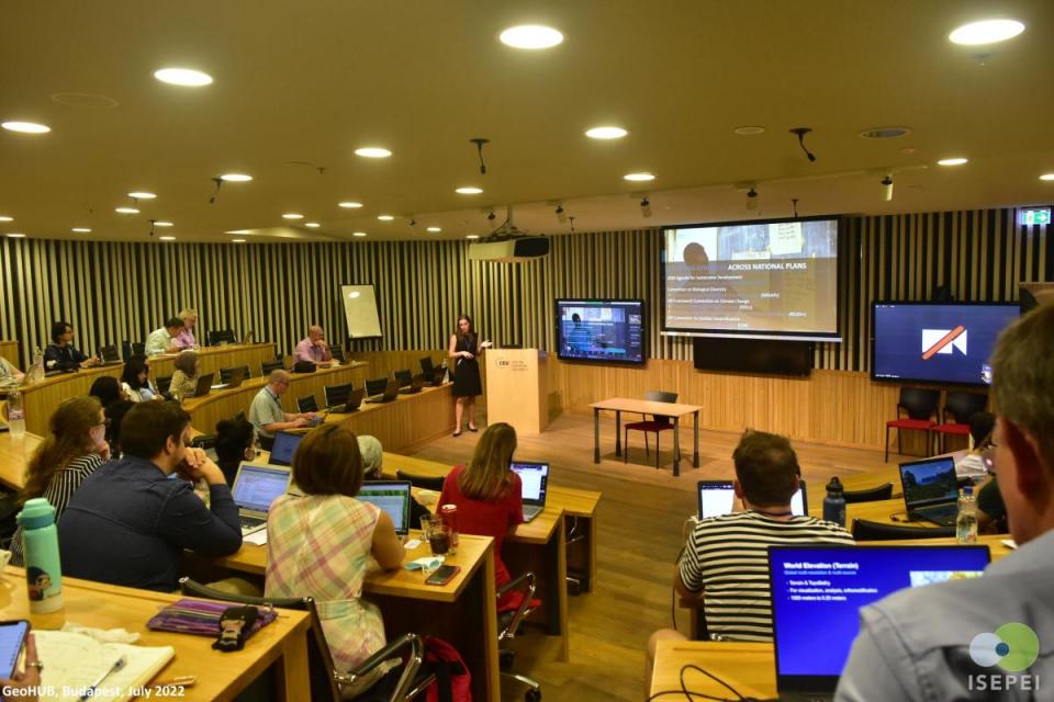
Last week, newly established OSUN’s GeoHub, a joint initiative by CEU's ISEPEI project, American University of Central Asia(AUCA) and Bard College successfully completed the in-person Summer University course on "Geospatial Technologies for Achieving Sustainable Development Goals (SDGs) - Food Security" in CEU’s Budapest campus. The course, which spanned from July 25th, 2022 to July 29th, included a series of engaging workshops from the top UN organizations, geospatial technology based institutions and renowned universities from around the world. The thematic areas of the workshop focused on the geospatial technologies in agriculture and digital transformation of rural areas, which included discussions on precision agriculture, mobile apps, GPS, drone use, satellite imagery use and more.
During the week-long sessions, renowned experts presented their works on Sustainable Development Goals(SDGs), Food Security, Digital Agriculture, Crop Monitoring, Earth Observation technologies, latest Geospatial technologies and so on. The workshop faculty included prominent experts from leading information, communication and technology forums such as the United Nations Development Program (UNDP), United Nations Food and Agricultural Organization (FAO), United Nations Office for Outer Space Affairs (UNOOSA), Group on Earth Observations (GEO), Global Environment Facility (GEF), World Bank, AUCA, Babes-Bolyai University, Center for Research and Application of Satellite Remote Sensing (YUCARS) at Yamaguchi University, Airbus, ESRI, Google, MAXAR and Planet.
This workshop attracted a diverse group of participants - students, academia, and young professionals representing an array of backgrounds and regions in the world. Priority was given to the participants from the GeoHUB partner institutions, which are CEU, AUCA, and Bard College. There were also many participants from other international organizations such as IMMAP, UN World Food Programme (WFP), UN Office for Disaster Risk Reduction (UNDRR), various national governmental agencies, and so on.
This Summer University course in CEU is run annually as a part of the "Bridging ICTs and the Environment'' workshop series of the Syslab's ISEPEI project. This training contributes to bridging the gap between the developers and practitioners as the in-service training allows the participants to hone their skills in such tools as Satellite imagery, Geographic Information Systems (GIS), mobile applications, and other technologies that can be applied for data-driven decision-making and achieving and monitoring the various SDGs targets and indicators. Every year since 2014, the workshop has been conducted in partnership and cooperation with various UN agencies (UNEP, UNDP, UNOOSA, UNFPA, UNECE, FAO) and global key stakeholders in digital technologies (JRC, Airbus, ESRI, Google, MAXAR).
This year’s workshop, which encompassed approximately 45 people from around the world, has effectively provided a significant platform to the participants and speakers to network and create professional connections, leading to future collaborations on environmental and food security projects around the world.