ISEPEI team successfully completed two online Workshops in Winter 2021
The ISEPEI project organized two winter trainings for the first time in the Winter Semester 2021, run simultaneously and entirely online as a response to the contemporary Covid-imposed travel restrictions.
A total of 21 students from a variety of departments and universities (CEU, AUCA, Bard College) accepted our challenge and tuned in from Austria, Egypt, Hungary, Kyrgyzstan, Myanmar and Spain to improve their practical skills and knowledge.
The courses were a part of the Bridging ICTs and Environment workshop series run by the ISEPEI project and were co-funded by the Open Society University Network (OSUN).
The students had the chance to enroll in two courses:
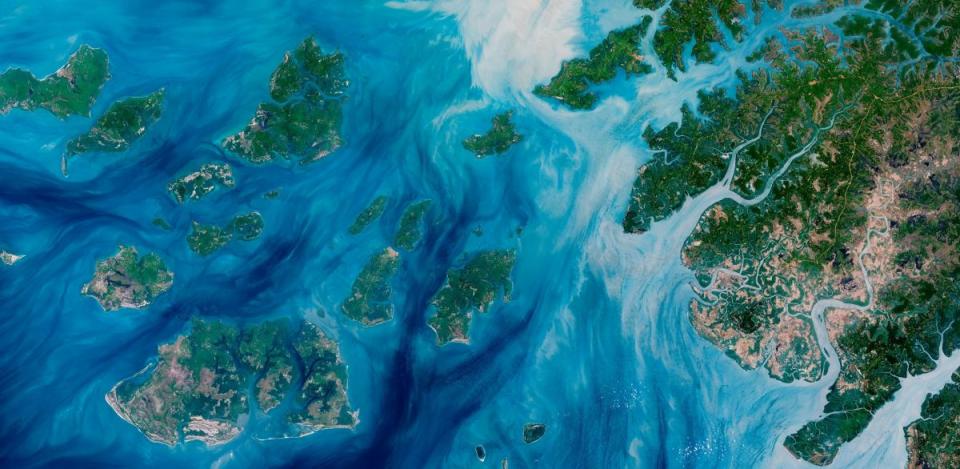
- Mapping the World with qGIS (11 January - 25 February, 2021): designed to introduce geospatial data visualization (mapping) using qGIS, the most popular open-source free GIS package, helping the participants to develop a basic understanding of spatially referenced data and familiarize themselves with general GIS mapping principles. Course content comprised a set of asynchronous theoretical sessions on principles of geospatial data visualization, cartography and GIS basics, as well as pre-recorded step-by-step video tutorials, demonstrating the most commonly used features, software plugins, spatial analysis tools and visualization.
- Monitoring Climate Change Impact Using GEE (11 January - 24 February, 2021): designed to provide basic, yet practical understanding of relevant geospatial techniques and real-world applications, using Google Earth Engine (GEE). Course content covered fundamentals of remote sensing and GIS packages, explaining how contemporary data is generated and how technology can be used for individual projects and research. Participants were introduced to the spatial data search techniques, simple processing and data analysis using GEE, as well as the visualization and interpretation of the results.
The course content was designed to demonstrate basic features and broad applications of both qGIS and GEE, allowing students to apply the tools most relevant to their own work and research. Furthermore, the level of difficulty was adapted for all the participants, taking into account that they came from various backgrounds.
The online setting and pre-recorded sessions and tutorials allowed students to advance at an own pace, while the course instructors made an effort to retain the live contact and interaction, providing opportunities for group and face-to-face consultations and personal feedback.
We would like to thank all participants for their interest, commitment and hard work and we are hoping they will continue to further develop their skills and apply them in their own fields of interest!
In Summer 2021, the ISEPEI project will continue its traditional series of workshops, this time in an online format. Join the course "Introduction to Geospatial Technologies for Achieving SDGs – Demographic Considerations" (to be held in July), the application is still open!